
Table of Contents
- What Makes a 4WD Track Worth the Drive
- 4WD Tracks Near Perth for a Weekend Escape
- Mundaring Powerlines (Moderate, about 45 km east of Perth)
- Julimar State Forest (Easy to Moderate, about 80 km north-east of Perth)
- Lancelin and Wilbinga Dunes (Easy to Moderate, about 120 km north of Perth)
- Dwellingup and Lane Poole Reserve (Easy to Moderate, about 100 km south of Perth)
- What to Check Before Any Perth Weekend Run
- 4WD Tracks Near Margaret River and the South West
- Best 4WD Tracks in Western Australia: The Remote Icons
- Sand, Beach and Desert Driving: Lancelin to the Great Central Road
- Offline 4WD Maps Australia: Navigation When There Is No Signal
- Your 4WD Trip Preparation Checklist Before You Leave
- Conclusion: Choosing the Right Track for Your Trip
- Frequently Asked Questions
Last Updated: October 14, 2026
What Makes a 4WD Track Worth the Drive
Not every dirt road deserves your fuel.
This guide from Bonito Camper covers the tracks we get asked about most, from quick weekend escapes to remote icons that demand serious preparation. Bonito Camper is a family-owned rental and tour business in Perth, matching travellers to routes that suit their vehicle, experience and timeline.
Below, we break each track into difficulty, distance, best season and the logistics that decide whether the trip works. A common mistake is choosing a track by photo alone: a river crossing looks spectacular in a video and impassable after a wet season.
Match the track to the vehicle and the driver, not the other way around. A well-prepared 4WD on an easy route beats an under-equipped one on a hard route every time.
4WD Tracks Near Perth for a Weekend Escape
Perth is unusual among Australian capitals in that genuine low-range terrain sits within an hour of the suburbs, making it a strong base for a Saturday run without booking leave. The tracks below use a three-tier rating: Easy suits high-clearance AWDs and first-timers, Moderate needs low range and recovery gear, Hard expects a lifted 4WD, aggressive tyres and self-recovery experience.
Mundaring Powerlines (Moderate, about 45 km east of Perth)
The powerline corridor through the Perth Hills is the classic training ground, with steep, rocky climbs, loose shale and tight, off-camber sections that reward low-range gearing and careful tyre placement. It gets busy on weekends and can be badly rutted after rain. Run it in autumn or spring when the ground is firm; summer brings total fire bans and winter brings clay that turns climbs into slides.
Julimar State Forest (Easy to Moderate, about 80 km north-east of Perth)
Julimar suits drivers who want forest tracks and gravel touring rather than technical climbing. Management trails wind through jarrah and marri country, with creek crossings that are usually shallow but rise fast after rain. It is a good first off-seal outing for a family in a stock 4WD. Camping is available nearby, but check fire restrictions and seasonal closures first.
Lancelin and Wilbinga Dunes (Easy to Moderate, about 120 km north of Perth)
Lancelin’s dune system is the closest big sand playground to the city and the best place to learn sand technique before a desert crossing. Wilbinga, further south, adds beach driving and limestone tracks. Both demand reduced tyre pressures, most start around 18 to 20 psi for beach work and drop lower for soft dunes, plus a sand flag and a tide check.
Dwellingup and Lane Poole Reserve (Easy to Moderate, about 100 km south of Perth)
Dwellingup offers a gentler introduction: forest tracks, river crossings and gravel loops through jarrah forest, with camping at Lane Poole Reserve. It is a good wet-weather option because the terrain drains better than the clay hills further north, though winter still brings slippery sections. Keep speeds down on trails shared with families and mountain bikers.
What to Check Before Any Perth Weekend Run
Three things decide whether a Perth-area track works on the day: fire bans and seasonal closures, recent rainfall, and how busy the area will be. Check the Department of Biodiversity, Conservation and Attractions park alerts for closures and the Bureau of Meteorology forecasts for rain in the catchment you plan to drive. A track that is easy in a dry autumn can be a winch-fest two days after heavy rain.
For a first off-seal outing, pick an Easy to Moderate track within 90 minutes of the city and go with a second vehicle. You get the recovery practice without the remoteness, and you can be home for dinner.
4WD Tracks Near Margaret River and the South West
The South West trades rock for sand, forest and coastal limestone. Tracks near Margaret River suit travellers who want beach driving and tall timber country in one weekend, and the region is more forgiving than the Goldfields or Kimberley, a good step up from Perth-area tracks. The catch: sand and limestone demand different skills from rocky hills, and weather changes difficulty more than terrain does.
Beach Driving: Boranup, Hamelin Bay and the Cape to Cape Coast
The coast between Augusta and Cape Naturaliste is the South West’s signature sand drive. Boranup Beach and the tracks around Hamelin Bay offer soft sand, limestone ledges and rock pools, with Leeuwin-Naturaliste National Park behind them. These sections demand reduced tyre pressures and a tide check, because soft sand catches drivers at high tide and limestone ledges can be cut off by a rising swell.
Forest Tracks: Boranup Forest and the Karri Belt
Inland, the karri and jarrah belts around Boranup, Pemberton and Nannup offer forest tracks that are easier on vehicles and good for families. Expect mud in winter, dust in summer and logging traffic on active management roads. The tall timber is the scenic highlight, but the driving is steady gravel touring rather than technical challenge. Carry a compressor, shovel and recovery strap even on easy loops, because wet clay can stop a stock vehicle quickly.
Blackwood River and Nannup Loops
The Blackwood River valley around Nannup and Bridgetown adds river crossings, gravel loops and camping. Difficulty is mostly Easy to Moderate, with river height deciding whether a crossing is a splash or a stop. These loops suit travellers combining driving with camping and swimming, and are a sensible choice when coastal conditions are rough.
Seasonal and Access Notes for the South West
Winter brings mud, closed gates and swollen crossings; summer brings dust, fire bans and busy campgrounds. Spring and autumn are the sweet spots for most South West tracks. Before you go, check the Department of Biodiversity, Conservation and Attractions park alerts for closures and any restrictions in national parks, and check the Bureau of Meteorology forecasts for rain and swell.
| Track | Difficulty | Best Season | Key Logistics |
|---|---|---|---|
| Boranup and Hamelin Bay beaches | Moderate | Summer, autumn | Tide timing, low tyre pressures, compressor |
| Boranup Forest | Easy | Spring, autumn | Logging traffic, mud in winter |
| Blackwood River loops | Easy to Moderate | Spring, autumn | River height, camping bookings |
| Nannup and Bridgetown gravel | Easy to Moderate | Spring, autumn | Fuel at towns, fire bans in summer |
Drop your tyre pressures before you enter soft sand, not after you bog. Around 18 to 20 psi is a common starting point for beach work, then air back up for the road. Check your vehicle’s manual for its own guidance.
Best 4WD Tracks in Western Australia: The Remote Icons
The remote icons are the routes people plan whole holidays around. They demand range, reliability and self-sufficiency, because help is hours away and phone signal is unreliable. Fuel, water and spare parts decide these trips more than driving skill.
Gibb River Road and the Kimberley
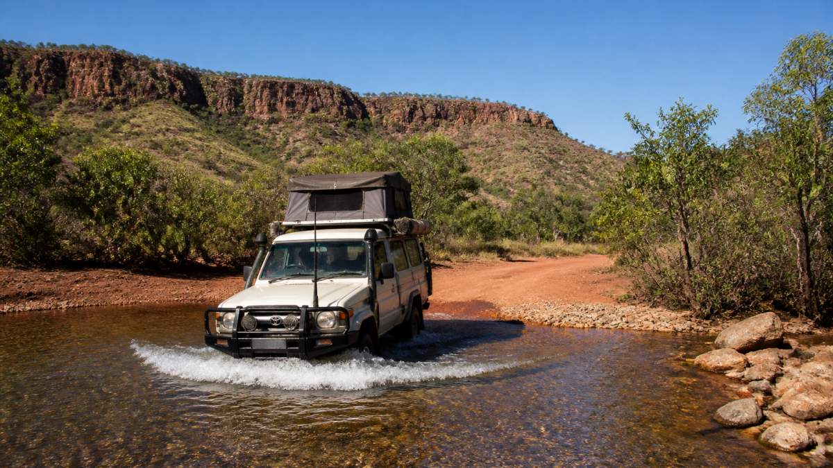
The Gibb River Road runs through the heart of the Kimberley and is the route most travellers name first. It is largely unsealed, heavily corrugated and best tackled in the dry season, roughly May to October.
Check road conditions and closures before committing. The Main Roads Western Australia travel map publishes current road status, and conditions change fast after rain.
Holland Track and the Goldfields to Esperance
The Holland Track links the Goldfields with the south coast, running through remote bushland to Esperance. It suits well-prepared vehicles with good ground clearance and drivers comfortable with self-recovery. Fuel and water planning matter more here than on any coastal route.
For remote travel, the Department of Biodiversity, Conservation and Attractions park alerts lists closures and access restrictions. Read it before you lock in dates.
Sand, Beach and Desert Driving: Lancelin to the Great Central Road
Sand separates confident drivers from lucky ones. Lancelin’s dunes are the closest big sand playground to Perth and a good place to learn before a desert crossing.
Further out, the Great Central Road and the Gunbarrel Highway cross genuine desert. The Parks Australia visitor information and state land agencies publish permit and access details for remote routes.
| Track | Difficulty | Best Season | Key Logistics |
|---|---|---|---|
| Mundaring Powerlines | Moderate | Autumn, spring | Close to Perth, busy weekends |
| Julimar State Forest | Easy to moderate | Spring, autumn | Forest tracks, check fire bans |
| Margaret River coast | Moderate | Summer, autumn | Tide timing, low tyre pressures |
| Gibb River Road | Hard | Dry season | Fuel, river crossings, closures |
| Holland Track | Hard | Spring | Remote, self-recovery, water |
| Lancelin dunes | Easy to moderate | Year-round | Sand skills, flag and pressure |
Offline 4WD Maps Australia: Navigation When There Is No Signal
Offline 4WD maps are digital or paper navigation tools that work without mobile coverage, and they are essential once you leave the sealed network. Phone signal disappears long before the track gets interesting.
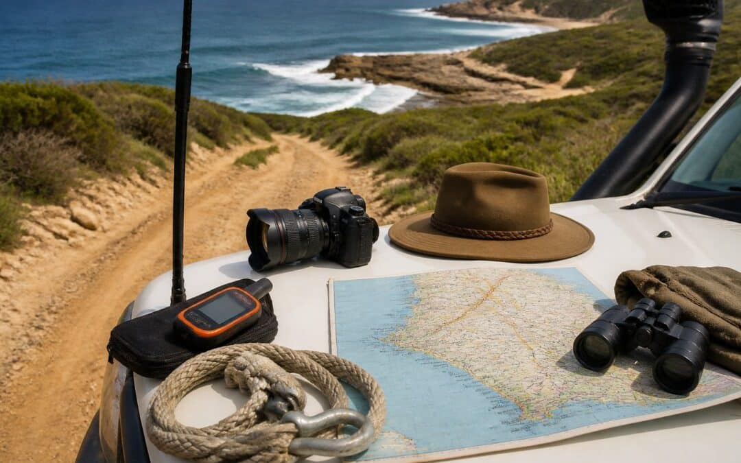
A dedicated GPS unit or tablet with offline maps beats a phone alone, because batteries and screens handle heat and dust better. Mark fuel stops, camp sites and bail-out points before departure.
Relying on a single navigation device is the mistake that strands most remote travellers. If the screen dies, you have no route. Carry two independent systems and know how to read a paper map.
Your 4WD Trip Preparation Checklist Before You Leave
Preparation is the difference between a great trip and a recovery bill. Work through this before every remote run, and check the Bureau of Meteorology forecasts for the region you are entering.
- Vehicle serviced, tyres and pressures checked, including the spare
- Long-range fuel and water for the full route plus a reserve
- Recovery gear: snatch strap, shackles, shovel, traction boards, compressor
- Two independent navigation systems, one paper
- Satellite communication or personal locator beacon for remote routes
- Permits and park passes sorted for every jurisdiction on the route
- Food, first aid and enough supplies for an unplanned extra night
- Someone at home knows your route and expected check-in times
Families and first-time remote travellers who want a well-equipped vehicle and backup support rather than buying every item on this list themselves.
Conclusion: Choosing the Right Track for Your Trip
The hardest part is not the driving. It is matching a route to your vehicle, experience and the season, then preparing for the day something goes wrong.
Bonito Camper is a family-owned rental and tour business in Perth, and we equip vehicles for exactly this kind of travel.
Tell us where you want to go and how much experience you have. Bonito Camper will help you choose a route that fits.
Frequently Asked Questions
Which 4WD tracks in Western Australia are suitable for beginners?
Start with graded forest and powerline tracks in the Perth Hills, such as Mundaring and Julimar State Forest. These offer rocky terrain and mild ruts without the isolation of remote routes. Lancelin sand dunes are a good place to learn sand driving in a controlled area. Once you are confident with tyre pressures, recovery gear and low-range driving, move on to longer routes like the Holland Track. Always travel with a second vehicle on anything remote.
Do I need a permit to drive on 4WD tracks in Western Australia?
Most forest and powerline tracks near Perth require no permit, but you may need a park entry pass for national parks. Remote routes crossing Aboriginal lands, pastoral leases or the Great Central Road often require a permit from the relevant land council or the Department of Biodiversity, Conservation and Attractions. Check current access before you leave, because closures and permit rules change with seasons and land management.
How do I check whether a 4WD track is open?
Check the Department of Biodiversity, Conservation and Attractions park alerts page for national park and forest closures, and Main Roads Western Australia for road conditions on outback highways. For remote routes, contact the local shire or visitor centre. Many tracks close seasonally after rain, particularly in the Kimberley, where the Gibb River Road typically shuts over the wet season. Always confirm status within a week of departure.
What is the best offline map for finding 4WD tracks in Australia?
Hema Maps and ExplorOz both offer detailed offline 4WD maps Australia travellers rely on, covering remote routes, fuel stops and camping areas without phone signal. Download the region you need before you leave and carry a paper map as backup. Pair your navigation with a personal locator beacon or satellite messenger, since large sections of the outback have no mobile coverage at all.